
CivicTech · Real time · PWA
Talaia
Talaia —Valencian for watchtower— turns official data sources into a per-town flood-risk traffic light for the area hit by the DANA floods of October 2024.
Creator · 2026 — Present
What it is
Talaia is a weather and hydrology watch portal for towns in the area hit by the DANA floods of October 29, 2024: Albal, Benetússer, el Mareny de Barraquetes and Benaguasil. It aggregates official sources —AEMET forecasts and warnings, flow and rain sensors from SAIH Júcar, Meteoalarm, GVA emergency phases— plus complementary ones like Open-Meteo and AVAMET stations, normalizes them into a common schema and summarizes them as a per-town risk traffic light.
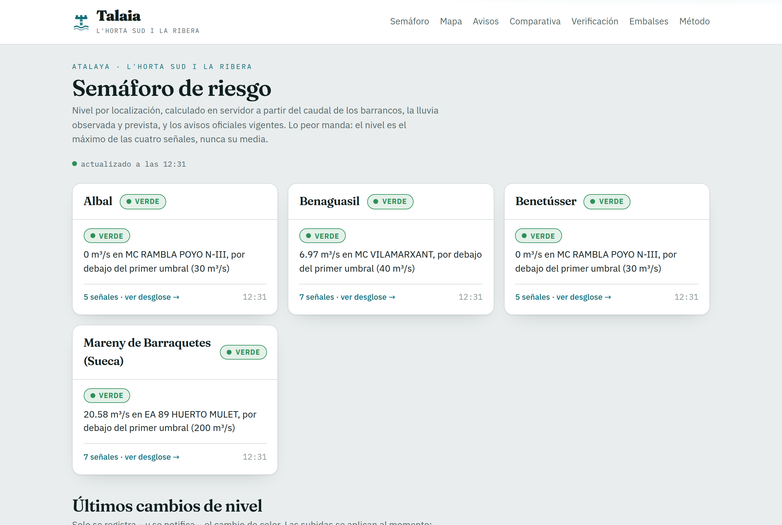
The traffic light
Each town has four independent signals: river flow and reservoirs, observed rain, forecast rain (the median of up to six weather models, not the most alarmist one) and official warnings. The level is the maximum of the four, never the average: a red flow reading is not offset by the absence of a warning. It rises immediately and falls slowly, waiting for confirmation to avoid a false green between two peaks. And it is computed server-side, so the screen and the notifications always see the same thing.
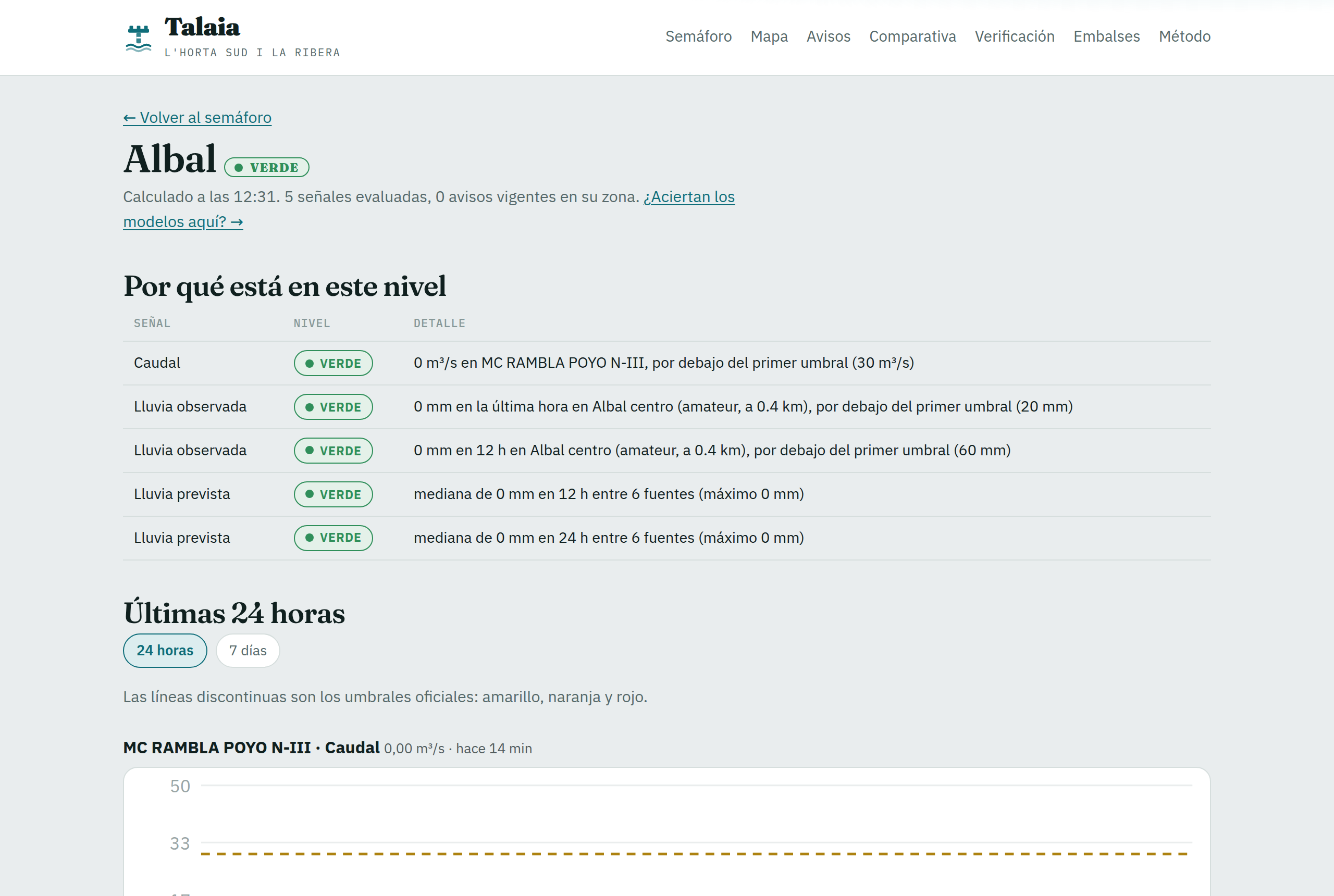
Distrusting the data
The hard part wasn't connecting APIs, it was distrusting them. The barranc del Poyo history carried spurious spikes —0 to 855 m³/s in five minutes and back to zero— that would have turned the traffic light red five times in a year and a half without a drop of rain: impossible jumps are now quarantined until they are sustained. Observations are cross-checked between sources and a verification page compares every forecast with the rain that actually fell, because a warning system earns trust by showing its mistakes.
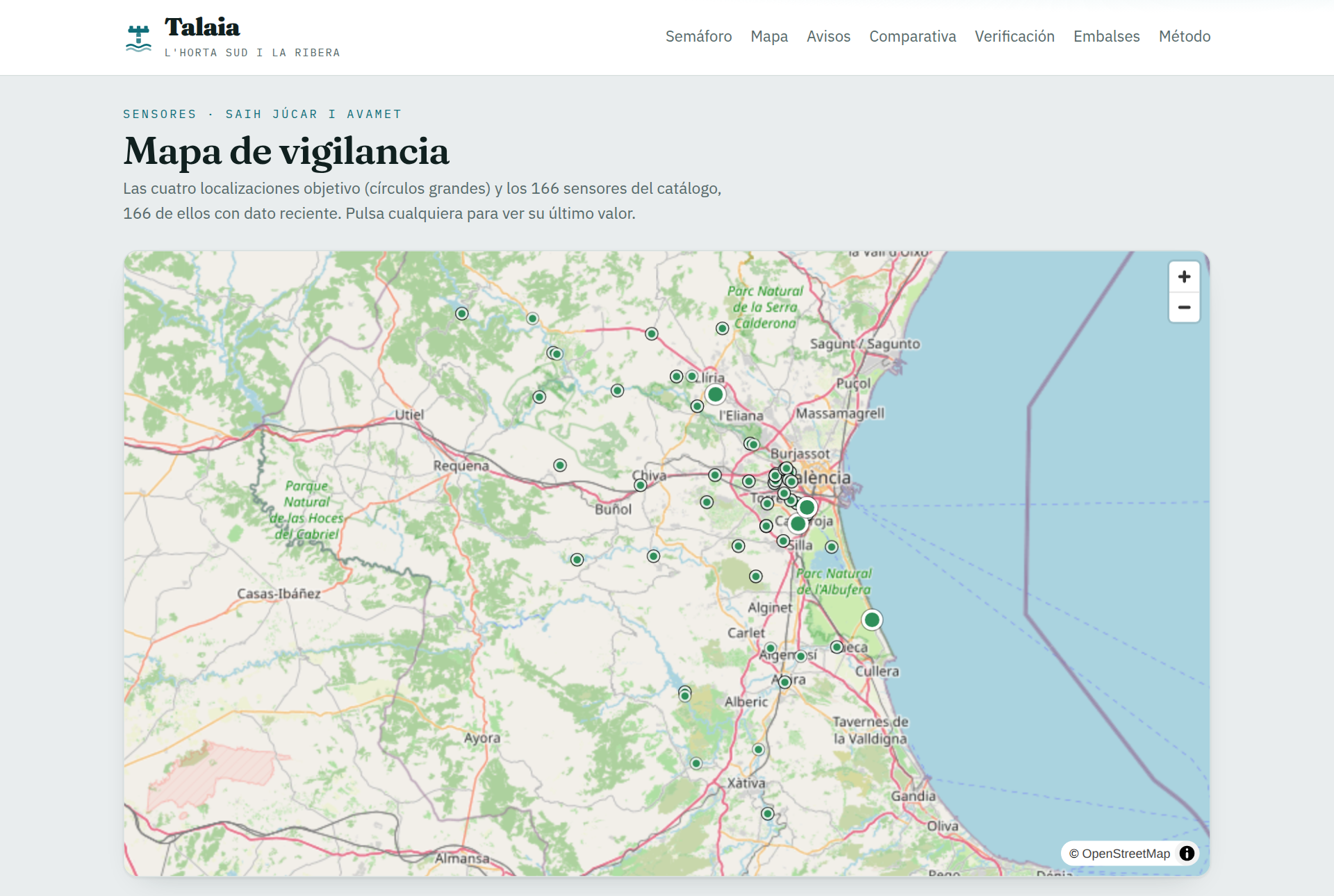
The product
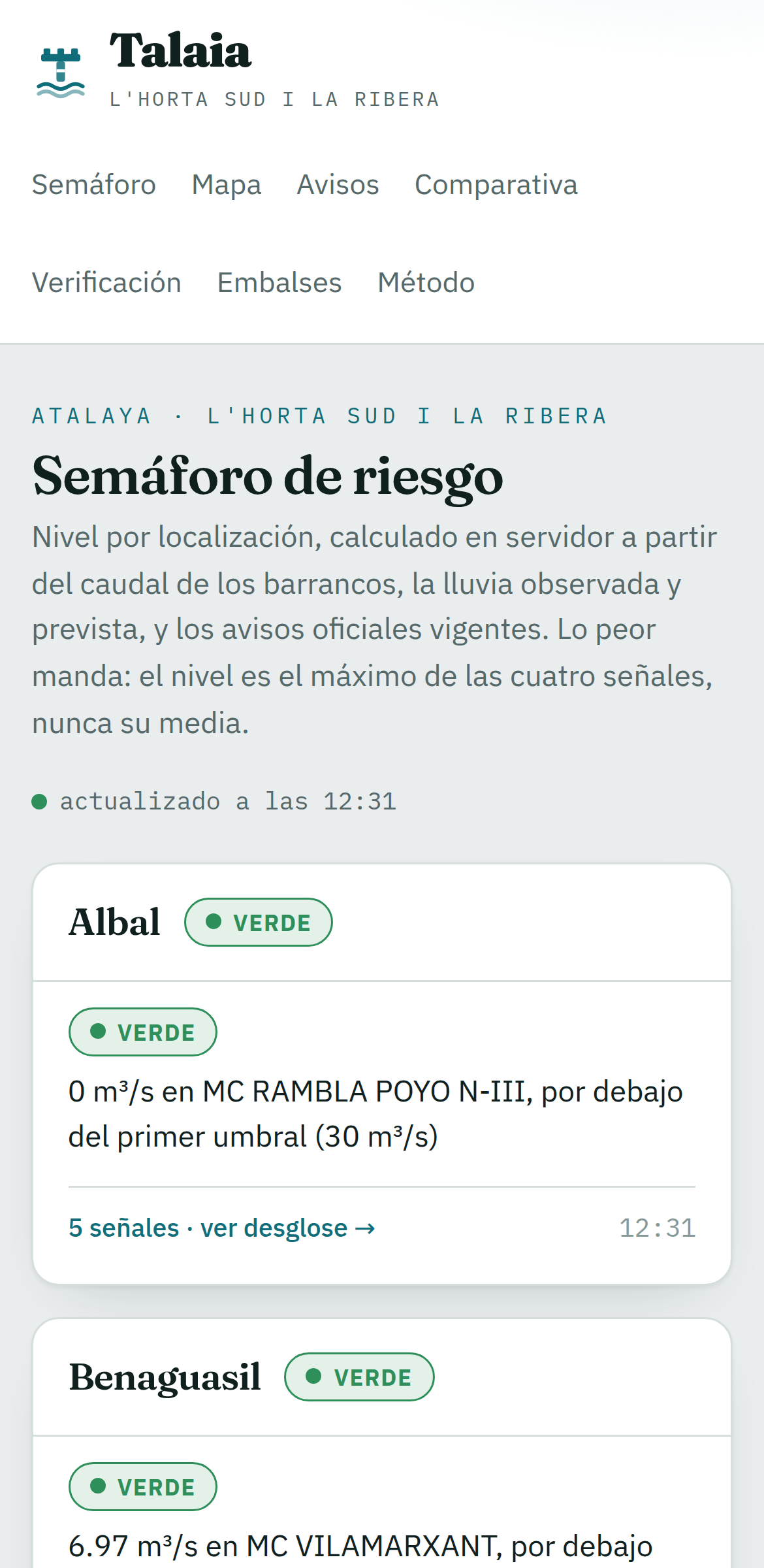
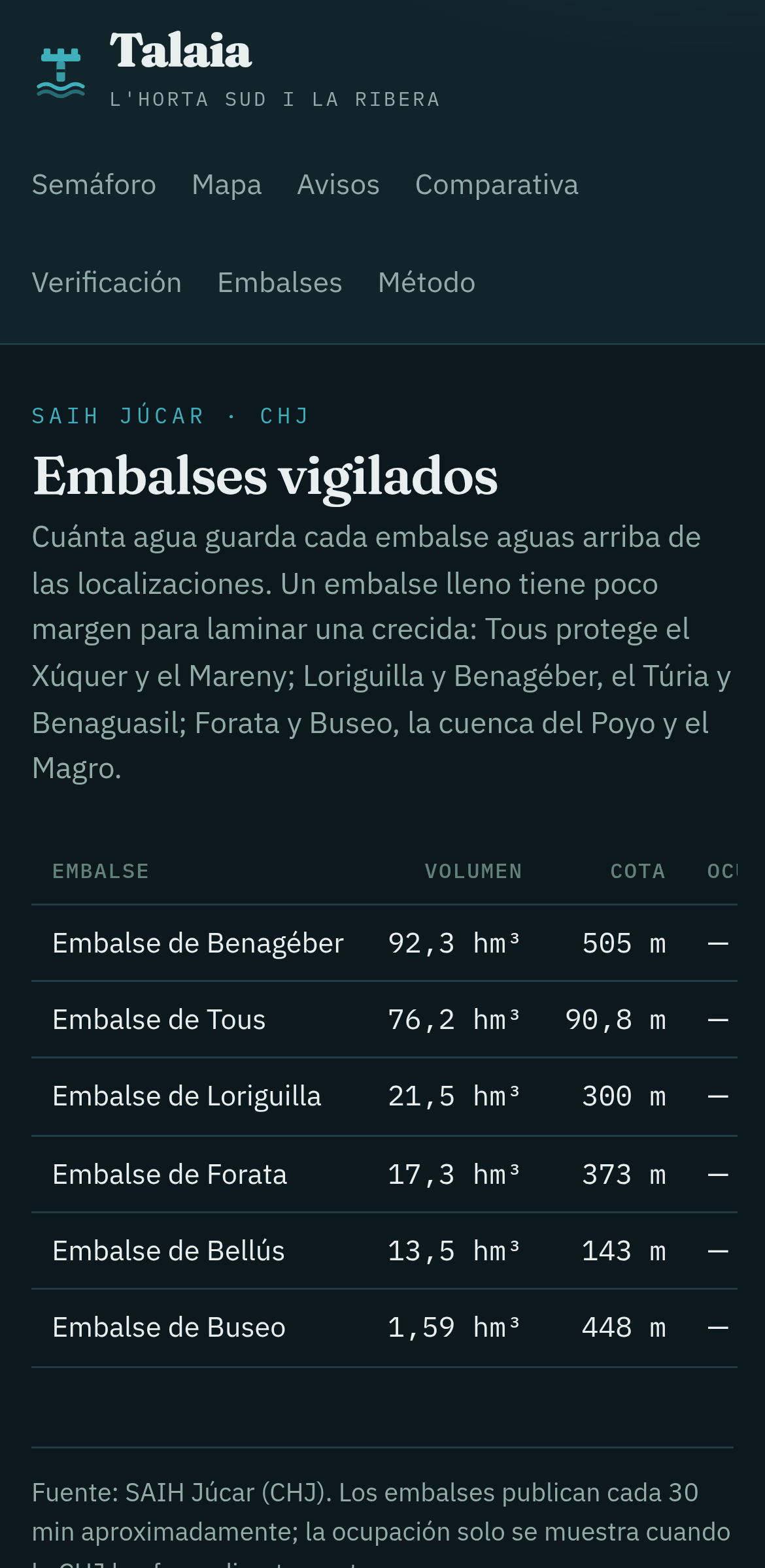
Talaia is an installable PWA with offline mode: a traffic light on the front page, per-town detail and warnings, reservoirs, model comparison and live updates without reloading the page. When the level changes, it notifies via Web Push. Behind it there are decoupled per-source collectors running every 5–15 minutes, TimescaleDB with three years of observations and an API that centralizes the computation. The logo is a T that is both a watchtower and a stream gauge.
Agentic development
Talaia is built end-to-end with agentic development: each increment starts from a spec (OpenSpec), is implemented pairing with agents and is verified against the real sources before it closes. Phase by phase —from the first collector to the PWA with Web Push— keeping specs, docs and CI up to date. It doubles as a proving ground for the approach I apply in consulting.
What it is not
Talaia does not replace 112 or the official channels: it is a personal project that organizes public information. In an emergency, the reference is Protección Civil and AEMET. That is why the thresholds are the official ones (CHJ's and AEMET's Meteoalerta plan), the methodology is public and the limitations are documented on the site itself.